Janet Brewster
GIS Specialist, California Department of Fish and Wildlife
- My career has spanned multiple disciplines, and GIS has moved right along with me. From environmental planning to facilities to land and wildlife conservation, I have been able to use GIS to conduct analyses, create and manage data, and make connections that weren’t otherwise possible. But perhaps best of all, I can share all of this information on a map, rather than in a dry list of names and numbers. Who doesn’t love a good map?!
Continue reading Meet the Judges for the My California GIS Mapping Exhibition and Competition


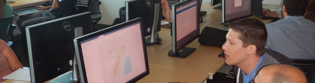
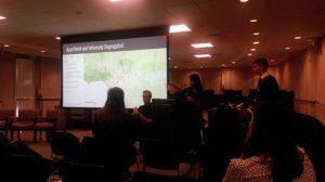 The students attended with their outstanding English teacher, Alice Im, and presented their work examining relationships between school segregation and graduation rates and exploring environmental racism by comparing the health problems and government responses related to the Porter Ranch gas leak and the Exide Technologies toxic contamination case in Vernon. The CGA also hosted an informational table with our friends from The History Project at UC Davis to share GeoInquiries and how we are helping educators to engage their students in geographic inquiry using GIS.