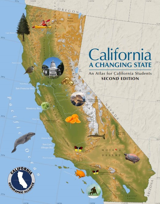
 We are happy to announce the availability of a completely updated and improved Second Edition of this popular resource! Aligned with fourth grade standards, the 50-page atlas includes maps, diagrams, tables, and text. In addition to the content included in the atlas itself, we have provided lesson plans and extended resources.
- Jump to the table of contents by clicking here.
- View learning activities, lesson plans, and extended resources.
Note: You can view the maps in your internet browser or download the pdf files. If you open the files in Adobe Acrobat Reader (free to download here), you can turn on an overlay that will show the county names and boundaries on any individual map (more info on pdf layers here).
Professional Learning Opportunities:
The California Geographic Alliance and California Global Education Project have collaborated to create an online professional learning course that supports teachers in using the revised student atlas, California: A Changing State (2nd Ed.), as a teaching and learning resource. More information on the paced cohort course is here.
Gratitude:
We are especially grateful to the National Geographic Society and the California Global Education Project for their support of this update. The atlas was originally created at Humboldt State University in 2011 with support from the Richard and Rhoda Goldman Fund, S.D. Bechtel Junior Foundation – Stephen Bechtel Fund and the National Geographic Education Foundation.