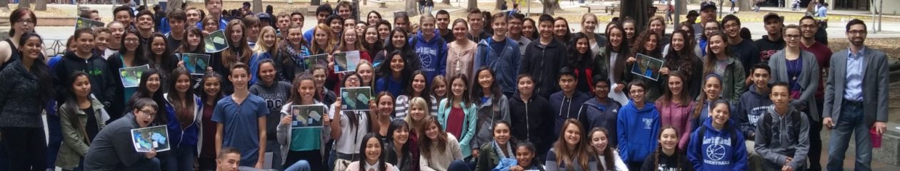
The Network of Alliances for Geographic Education has an exciting new national initiative for 2017: the State Giant Traveling Map Program. At least two giant maps of California (17 x 21 feet, so not as large as the giant continent maps) will be circulating the state beginning in January. The maps are specifically designed for use by 3rd and 4th grade students, and they come with lesson plans designed by National Geographic and tied to standards for those grades.
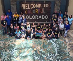
Three teachers from California went to Denver, Colorado this past summer to receive training from National Geographic staff. They have also developed lesson plans specific to our state standards, which they have begun piloting with teachers and students. The CGA wants to thank Stephanie Buttell-Maxin, Mandi Marcus, and Josh Bess for their support of the National Initiative in California. We will all benefit from their thoughtful leadership.
Interested in getting the California Giant Traveling Map to your school? Click on this link to provide your name, school details, and contact info: https://www.surveymonkey.com/r/6WJM6HP and someone will be in touch with you soon.