This page provides links to StoryMaps and web maps produced by the CGA and other organizations.
StoryMaps
StoryMaps are web applications that combine interactive web maps with photos, text and pop-ups to present engaging and informative presentations of geographic information and support inquiry-based instruction. This first set is based on the content of the atlas California: A Changing State.
Note: All links open in a new browser tab and some may be slow to load
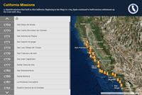 |
21 Spanish Missions Built in Alta California from 1769 to 1823 This StoryMap extends the California Missions map from p.23 of the print version of the California Atlas and is based on the Countdown Story Map Template. Video: How to use the California Missions Story Map (YouTube) Authors: Cynthia Paloma, Yi-ting Chuang and Trevore Humphrey for the California Geographic Alliance |
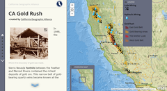 |
California Gold Rush This StoryMap extends the Gold Rush map from p.27 and the Gold Rush Routes map from p.26 of the print version of the California Atlas and is based on the Story Map Journal Template. Video: How to use the California Gold Rush Story Map (YouTube) Authors: Cynthia Paloma, Yi-ting Chuang and Trevore Humphrey for the California Geographic Alliance |
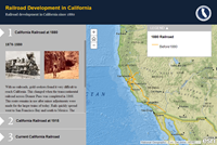 |
Railroad Development in California since 1870 This StoryMap extends the Railroad Development map from p.30 of the print version of the California Atlas and is based on the Storytelling Side Accordion Template. Video: How to use the Railroad Development in California Story Map (YouTube) Authors: Cynthia Paloma, Yi-ting Chuang and Trevore Humphrey for the California Geographic Alliance |
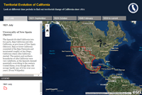 |
Evolution of California’s Territorial Boundaries since 1821 This Story Map extends the Territorial Evolution of California map from p.28 of the print version of the California Atlas and is based on the Story Map Tabbed Viewer Template. Video: How to use the Territorial Evolution of California Story Map (YouTube) Authors: Cynthia Paloma, Yi-ting Chuang and Trevore Humphrey for the California Geographic Alliance Note: This Story Map takes a very long time to load |
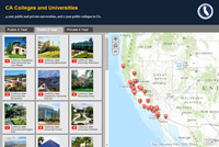 |
California 4-year Public and Private Universities and 2-year Public Colleges This Story Map extends the Public Colleges & Universities map from p.50 of the print version of the California Atlas and is based on the Shortlist Story Map Template. Video: How to use the California Colleges Story Map (YouTube) Authors: Cynthia Paloma, Yi-ting Chuang and Trevore Humphrey for the California Geographic Alliance |
StoryMaps by Collaboratons
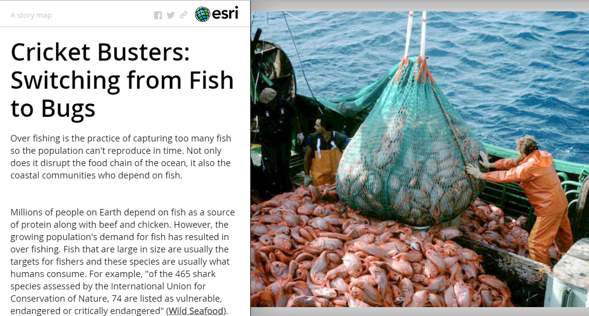 |
Cricket Busters: Switching from Fish to Bugs This Story Map was produced by students at Clark Magnet High and outlines a potential solution to the global crisis of overfishing. Author: Dominique Evans-Bye (teacher) |
 |
EXPLORE – Follow the Anza Expedition From: Juan Bautista De Anza This map follows the first expedition to permanently settle California. Follow the journey day by day and read entries from the journals of the leaders of the expedition. |
 |
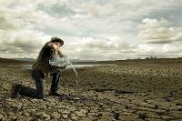
Where Does Your Water Come From? From: The Nature Conservancy, California This interactive map allows you to see where your drinking water comes from and what issues might be affecting its sustainability. |
 |
Geographic Impacts of Global Change: Mapping the Stories of Californians This Story Map was created by a group of Stanford students led by graduate student instructors Alexis Mychajliw and Melissa Kemp, under the guidance of Professor Elizabeth Hadly. It is based on the Story Map Tabbed Viewer Template. Authors: Elizabeth Hadly, Alexis Mychajliw and Melissa Kemp from Biology, Stanford UniversityAcknowledgements |
Story Map by Dr. Joseph Kerski
 |
San Diego State University Geography Department Colloquium A huge honor to give the Geography Department colloquium there. I have enormous respect for my colleague Dr Ming-Hsiang Tsou there and others. This story map is based on the Story Map Tour Template. Authors: Dr. Joseph Kerski |
StoryMaps by ESRI
 |
California Historic Drought A story map based on California’s historic drought of 2014! You will find reservoir levels and snow pack comparisons inside along with alarming information regarding California’s dire water situation!Author:Story Map created by Tom Bleicher, 2014. Photos courtesy of DWR, Getty Images, LA Times.If you recognize a photo that’s yours, please let me know so I can provide credit! |
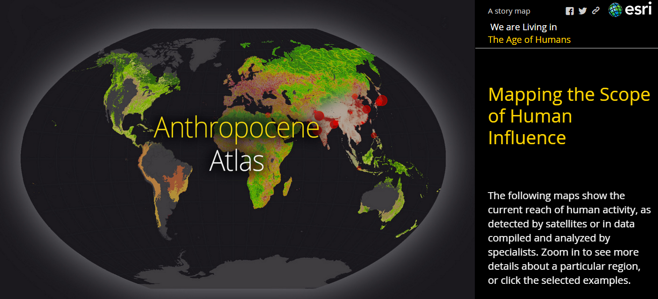 |
Anthropocene Atlas This Story Map illustrates why scientists say we are now in an age shaped by human activity and also identifies solutions that could help create a more resilient global community. |
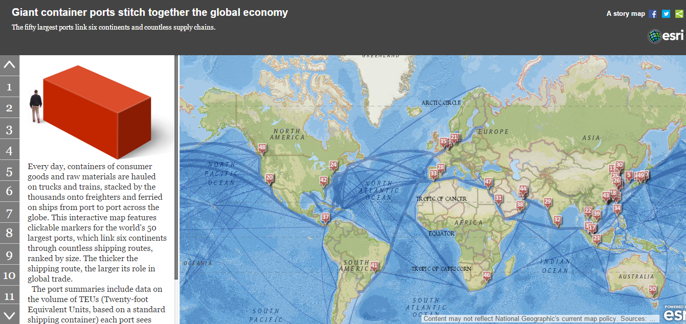 |
The World’s 50 Largest Ports This Story Map allows you to see how the global supply chain is supported by a network of shipping ports and investigate each port in detail. |
Web Maps
Web maps provide map exploration tools without the framing narrative and supporting imagery of the Storymaps, allowing the explorer to discover their own connections. Two ways are provided to view the web maps – first, by clicking on the thumbnail in the gallery, which displays the web map in a Classic Map Viewer application which permits explorers to turn map features on and off at will, change the base map imagery, take measurements, and go to map Bookmarks. The second way to view a web map is directly in ArcGIS Online, described below the Web Map gallery. Note: All links open in a new browser tab and may be slow to load
Web Map Gallery
Open web maps in ArcGIS Online
Clicking on these links will open web maps in ArcGIS Online without a login. This adds more controls such as the ability to modify symbols, do basic filtering and view the underlying data table. You may also log into your ArcGIS Online account to view the web maps. Logging in from a free ArcGIS Online Public account adds the ability to save a copy of the map and add your own data to create your own map. Logging in from an ArcGIS Online Organization Account adds powerful analysis tools and the ability to publish your own web maps hosted on the ArcGIS Online Cloud. ArcGIS Online Organization Accounts are free for K-12 schools through Esri’s support of the ConnectEd program: http://connected.esri.com/
 |
California 4 year public and private universities, and 2 year public colleges |
 |
Enrollment at California 4 year public and private universities, and 2 year public colleges |
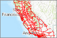 |
California highways |
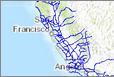 |
California trade routes |
