The California Geographic Alliance is proud to announce the winners of the 7th Annual My California GIS Mapping Showcase and Competition.
This exciting statewide opportunity encourages middle (4th-8th grade) and high school (9th-12th grade) students to harness the power of Geographic Information Systems (GIS) and connect with their state by producing a StoryMap. The state competition is part of a national competition sponsored by Esri, creators of ArcGIS Online software and educational resources that are freely available to K-12 schools. $100 in prize money is allocated to the student author(s) of up to five award-winning projects in each division. The first place project in each division also advances to the national competition.
The contest is coordinated by Dr. Waverly Ray of San Diego Mesa College. A volunteer panel of academic and industry experts serve as competition judges (and sometimes mentors, too), led by Dr. Ming-Hsiang Tsou of San Diego State University. The CGA is grateful for this support and for the advocacy of these individuals to support GIS in K-12 education!
The CGA also sincerely thanks all of the educators across the state who gave their students the great experience of using GIS to create their own maps and projects. Participation in the competition was low this year, and we understand the challenges that teachers are facing in a year shaped by pandemic recovery. Teachers are the best, and we know you’ll continue to make learning engaging for your students. We appreciate your help in bringing the power of geographic thinking and geospatial technologies to your students.
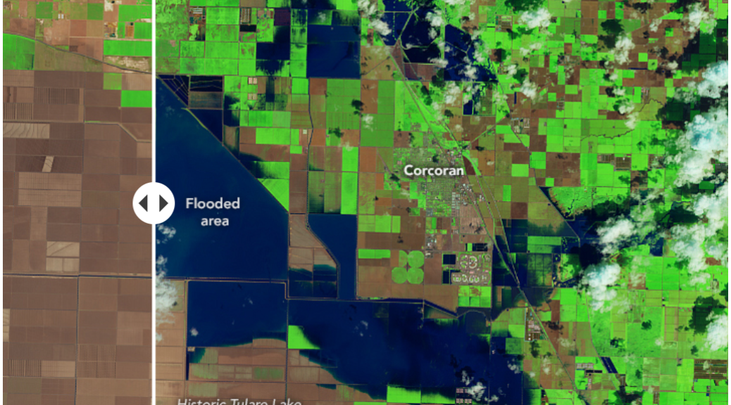
The first place prize in the 4th-8th grade division is awarded to Ava Krutschnitt of Ross School in Ross (Marin County) for a project entitled “California Groundwater.” Wondering whether California’s wet year can replenish depleted groundwater reserves? This StoryMap gives you information about what’s happening with groundwater in each of the state’s groundwater basins . Who is using it, where levels are changing, and how the resource is being managed are all covered.
The first place prize in the 9th-12th grade division is awarded to Sean Canlas of Clark Magnet High School in La Crescenta (L.A. County) for a project entitled “Clark Methane Map.” Methane releases are associated with oil and gas production, and methane air pollution is harmful to both the global climate and public health. This StoryMap illustrates an effort to monitor methane at Clark Magnet High School using a drone and a programmable open-source electronics platform. Maps show both the drone’s flight path and the sampling results.
Other students recognized in the 9th-12th grade division include:
- Second place: Lilia Hacoupian, Clark Magnet High School, La Crescenta: Juvenile White Sharks On The West Coast
- Third place: Yuzuna Kudo and Emily Mardirousi, Clark Magnet High School, La Crescenta: Monitoring Methane Emissions
- Fourth place: Joshua Almario, Clark Magnet High School, La Crescenta: Rush to Clear the Brush


